Pasture Management Tools banner.

Active Pasture and Forage Project


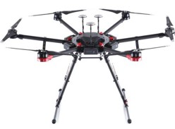
Pasture Yield Prediction Model DevelopmentImage of drone. Survey cameras.
Instruments

Matrice 600 pro drone with 10-bands camera:Survey Cameras.
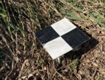
Survey tiles in field.

  • Flight height: 20 m
  • Flight speed: 3.2 m/s
  • Flight overlap and sidelap: 75%
  • Orthophoto resolution: 1.4 cm
  • Flight time: 10 am – 4 pm
  • 10-12 targets for georeferencing

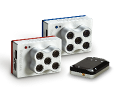
MicaSense RedEdge-MX Duo Camera Imaging System (10 bands)

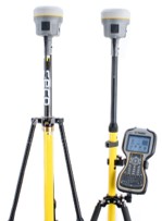
RTK GPS (Trimble R10)


Instrument: RedEdge-MX Dual Camera System

RedEdge MX Dual Camera Imaging System compared to satellites chart.Survey Cameras.

Micasense RedEdge-MX DUAL


Project Information

Project period: September 01, 2024 ~ August 31, 2028
Participating producers & LSU AgCenter Research Stations

  • Coastal Prairie Farm, 459 Sonny Ln, Eunice, LA 70535
  • Bayou Sarah Farm, 5338 Rosemound Loop Rd, St. Francisville, LA 70775
  • J & P Land Development LLC, 104 Bruce Circle, Lake Charles, LA 70611
  • Simon Hay, 1731 Ardoin Rd, Iowa, LA 70647
  • LSU AgCenter, Red River Research Station, 262 Research Station Drive, Bossier, LA 71112
  • LSU AgCenter, Hill Farm Research Station, 11959 Highway 9 Homer, LA 71040

Project year 1 resources
Future plan


Participating producers and LSU AgCenter Research Stations

Coastal Prairie Farm

Coastal prairie farm satellite map.

BayouSarah Farm

The red lined area indicates project pasture for a drone mapping

Bayou Sarah Farm Satellite map.

J & P Land Development

The yellow lined area indicates project pasture for a drone mapping

J and P Land Development Satellite map.

Simon Hay

The yellow lined area indicates project pasture for a drone mapping

Simon Hay satellite map.

LSU AgCenter, Red River Research Station

LSU AgCenter Red River Research Station satellite map.

LSU AgCenter, Hill Farm Research Station

LSU AgCenter Hill Farm Research Station satellite map.


Top